Heading out from Banos to Alausi, we decided to double up on the GPS. Using the maps in the Garmin and using the free, offline app Maps.me, we thought we might have less of an opportunity to end up on those dirt roads that Bruce hates (and I not so secretly love).
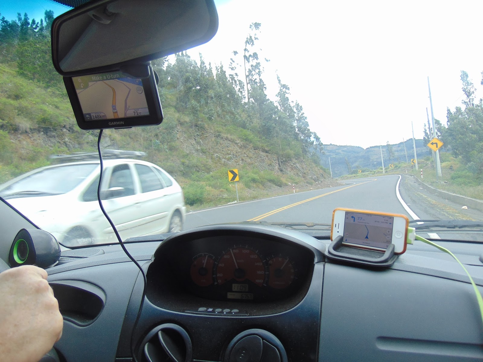
No such luck. Both gadgets sent us on a left-hand turn off the main road not far outside Banos. This one turned into a dirt road only a kilometer or two down it, so we turned around and went back to the main road. We knew that road would take us to Ambato because it was the way we came in. We also knew we could go from Ambato to Riobamba, which was on our way to Alausi. So, we ignored both GPS programs until they agreed to go that direction.
The scenery was beautiful, with the patchwork quilt patterns of the fields, colorful grains growing, and the hand waving hello to everyone!


After several hours, we finally made it to Alausi.

Perfect timing, too. Just as we got downhill enough to be in the middle of town and found a hostal for the next couple of nights, the brakes let us know we needed new pads. So, we checked in and walked around until we found a mechanic who did brakes. Twenty-five dollars and 30 minutes later, we had new pads. Good thing we did it at the top of the hill. With less than 1/8 inch of pads left, we might not have made it home! Alausi is also higher in altitude than Banos, and it was beginning to get a little uncomfortable for me since I forgot to bring long pants! We now need to keep the following in the Geezermobile: Emergency bathing suit in case there is an unexpected water opportunity (which happened on the cost of Ecuador), emergency sneakers and socks in case of an unexpected hiking opportunity (which happened in Central America) , and now emergency long pants in case we go somewhere chilly and I'm in shorts.
After settling in and getting the brake pads replaced, we walked around town a bit. It's small, but tidy and beautiful. About half of the people wore traditional dress instead of the more modern clothes. It amazes me how the women can carry just about anything in that little shawl tied around their shoulders!


As in other parts of Ecuador, shoe shine benches are busy.

We found the train station, too. This shiny, red train looks like the one that goes on the full route between Guayaquil and Quito, lasting 4 nights.

We were only doing the short Devil's Nose segment from Alausi to Simbambe and back.

It's a good thing I got our tickets online. When we talked to the gentleman at the station to confirm it was the right place, he told us the train was sold out for both rides the following day. If you plan to take this trip, definitely book your tickets in advance. They do two trips per day except holidays, when they do three. They sell out in advance. While you technically can buy tickets at the station, they are rarely available a week out. When we went, tickets were $30 per person. Highly expensive for the average Ecuadorean, but they sell out two trains a day, three on holidays.
At the station while waiting for your train, you can eat in the outdoor cafe, get your passport stamped, or browse the gift shop. There are neat trinkets, and one of the ladies selling ponchos was spinning alpaca wool into yarn for weaving. The smashed penny machine was broken, though.


The cars are comfortable with nice seats, and each car has its personal bilingual guide.

When you get your tickets, try to get window seats where they are doubled. The tracks are so steep that the train faces the same direction going up and down. The single row is mostly (but not always) on the side by the mountain. The best views are out the other window. On the trip down, it really doesn't matter, though. The conductor encouraged everybody to walk back and forth to make sure nobody missed any of the views. This is what our car looked like during much of the trip (at least what I saw when I wasn't hanging out the window).

The entire Ecuadorean rail system is considered the most difficult in the world to have built because of the rugged terrain over which it passes to connect Quito and the "high Andes" with the coastal city of Guayaquil. This section, including the mountain it runs down, were renamed the Nariz del Diablo because of the high number of workers who lost their lives building it. It makes a 500 meter (almost 1650 feet) change in elevation in a mere 12 kilometers (just under 7.5 miles). By some accounts it is the steepest train track in the world. It looks very steep to me. We're going to that river. We've already been descending a portion of the way.

The train makes this change in elevation by the use of some uncommon switchbacks. Instead of tight turns or roundabouts, the train pulls onto a section of track. A worker jumps off the train and flips the switch on the track. The locomotive (which can drive either forward or backward), reverses direction and sends the train back the other direction. When pulling out of the station in Alausi, the locomotive is pulling the train. Once you pass through the first switchback, the locomotive is pushing the train. With each switchback, you change from being pushed to pulled and viceversa.

This is a couple of switchbacks we will be navigating.

This is pulling out of a switchback on our way down the mountain.

When pushing the train, the engineer can't see where he's going. Workers on each car help him out by giving hand signals that are passed from car to car to let the engineer know what's coming up. I'm pretty glad our engineer had driving this route a few times!
The scenery was breathtaking. I'll post a few shots, but you'll need to go to our Facebook page to see them all and the other videos. https://www.facebook.com/travelingeezers. Just so you know, we can put just about any of our pix on mugs, notepads, etc. Just let us know, and we'll tell you if that picture is suitable for what you want. We have a supplier for just about any novelty item you may want with one of our pictures. I haven't gone through all of the photos from this trip to see which ones are suitable for blowing up onto canvas, large prints for framing, putting on shower curtains, blankets or other large items. I hope to have them done in a day or so, and I'm hoping that some of the stills pulled from video are of good enough quality for that.


Once at the Sibambe station, there are llamas, horses, artisans, dancers, cooks, and a little museum up a whoooole lot of steps. I can't tell you anything about the museum! I had an excellent fritada (pork) for lunch. Then, we walked around a bit. The mountain is now referred to as the Devil's Nose, and the section of track on this side of the mountain (where the switchbacks traverse) is the bridge of the nose while the tip of the nose points up into the air. The museum is that little yellow building.

The alpacas don't look very excited about my hugs.

This horse peeked out at me. I guess he was looking back to see if I was looking back to see if he was looking back to see if he was looking back at me. He was cuter than Buck Owens ever dared to be!

The river gets this unique color from the sulfur that runs in it.

There were also dancers at the station. They danced a couple of dances for us to watch. One of them was a dance with ribbons around a pole. It was really neat the way they wove and unwove the ribbon without even looking very closely!

After they danced for the tourists, they danced with the tourists until they called us back to the train.

The ride home was awesome. Good thing we got the brake pads changed! This is the first time Bruce has been able to really acknowledge that when crossing the Andes, you do actually go downhill. Generally, it feels like we go uphill both ways! This trip, it was obvious we were going downhill most of the way back to the coast.

As usual, we were set on a very interesting path. We eventually realized we were actually supposed to be on the paved road up the hill that was parallel to the gravel road we were on. We weren't far from town, though, so we turned around and searched until we found it. That gravel road did take us to this awesome bridge!

The road we were supposed to be on was mostly paved - except this spot where the stream ran across it. After crossing, it was a small waterfall down the side of the cliff.

I don't think this was an intentional or controlled burn.


It was above this cloud cover that stayed beside us most of the way down the mountain. Unfortunately, it didn't stay beside us all the way. We've been in worse. We could see through this cloud.


We finally made it to flat ground, though. When we made it to Guayaquil, there was a detour taking us off of our normal route and right to the iguana statue. We have finally seen all three: al loro (by City Mall), el mono (heading to the malecon from the airport), and now la iguana (wherever we were).

The entire trip was awesome! I recommend both parts of it to everyone!
No comments:
Post a Comment