After seeing the snow on whatever mountain that was in the Dixie National Forest, I was excited. I've wanted to see Bryce Canyon with snow on the hoodoos, but I thought it would always be too late when we came through. Now, I'm thinking it may not be too late after all! We gathered all of our stuff and left Kanab, heading to Bryce Canyon.
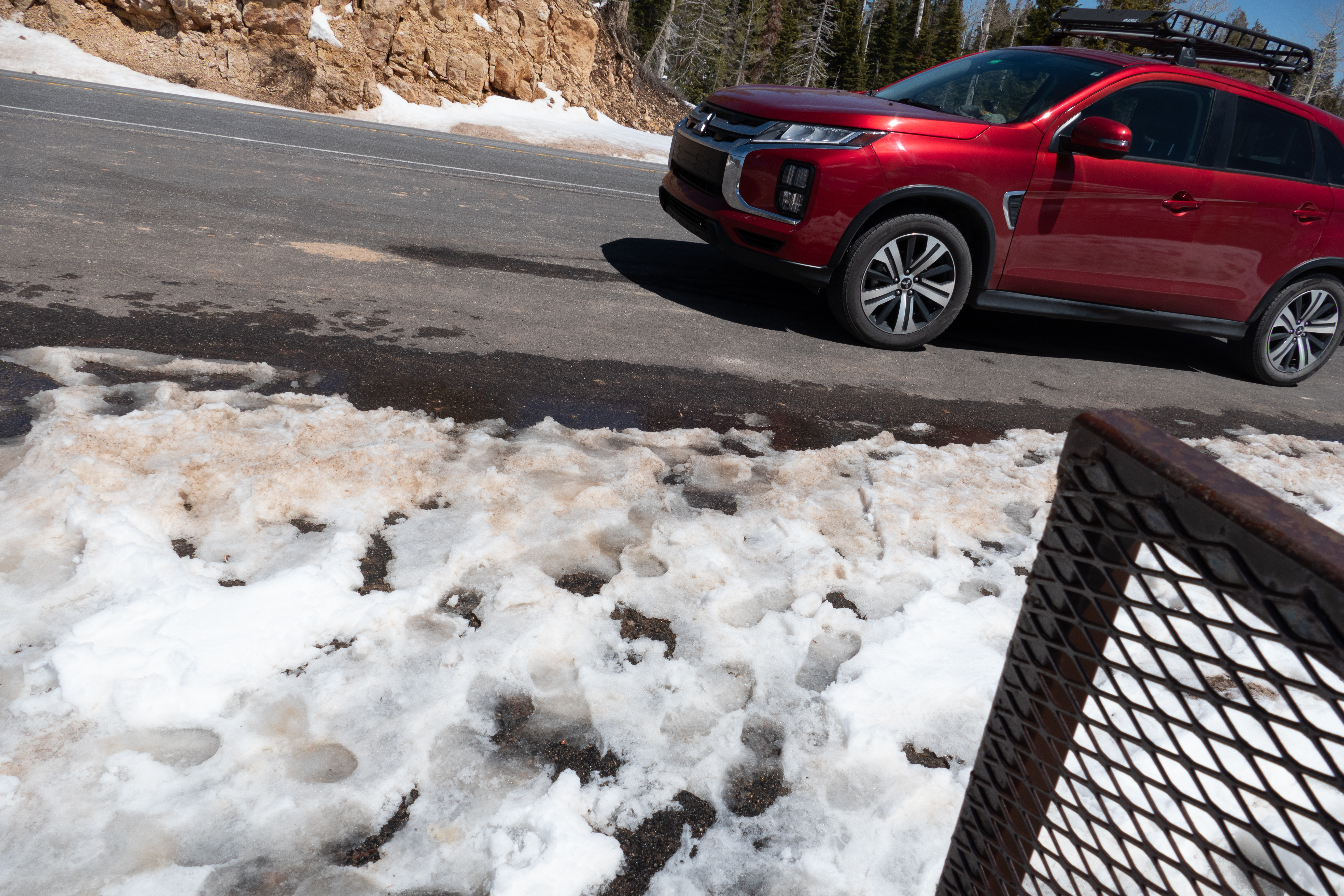
Before you get to Bryce from this direction, you have to go through Red Canyon, which is part of the Dixie National Forest. (Who wuda figured?) They say the best part of Red Canyon is along the road, so we didn't bother turning in to see other parts. It looks a lot like a small Bryce, but it's really pretty, especially with a little dusting of snow on the hoodoos!


There are two arches carved out. These are not natural. They were carved for the road to go through instead of blasting off all of the rock.

It wasn't long before we made it to Bryce Canyon. There wasn't snow everywhere, but enough to have lovely pictures.


This guy was just hanging out sunning himself. I tried to get him to look at me without scaring him, but he was just ignoring everybody. Of course, there were very few people that even noticed him.

From this viewpoint, there is a top to bottom view of the Grand Staircase. Because it's top to bottom instead of bottom to top, the parts aren't very well defined, like they are from the Arizona side of the monument, that looks bottom to top.


This is where they had not melted snow for the tourists. There's a lot left for Mother Nature to melt!


Natural Bridge arch


Found this heart-shaped formation in the middle of the trees


Bryce Canyon City down in the valley

After the park, we had lunch in town at the Cowboy's Buffet, then headed up Utah State Route 12, also called Scenic Byway 12. This is a designated All-American Scenic Byway, and oh, is it magnificent! As we were making our way up toward Torrey, I was starting to get disappointed. I could have sworn the magnificent parts started right around Escalante, but there really wasn't anything extraordinary. But it started later. I was hoping there would be snow on Razorback Ridge, but there wasn't. It was still an amazing stretch of road!


I didn't get a good shot of the dropoff on both sides of Razorback Ridge, but both sides look like this.


After we left the canyon part of SR 12 and were on Boulder Mountain (one of the highest mountains in the Dixie National Forest), we came across these two little deer. They weren't afraid of us, so I got a few good pictures of each of them.


Turns out, the Dixie National Forest is HUGE! We came in and out of it several times before we got to Salt Lake City. So, I had to look it up. The forest is about two million acres, taking up about 170 miles throughout southern Utah! Color me impressed! I now understand why we kept running into the Dixie National Forest! It's everywhere!
Our initial plan was to do Capitol Reef National Park this afternoon, but we spent so much time on all the rest of this, that we just didn't have time. So, we decided to do Capitol Reef tomorrow and then take a day of rest before heading on up to Washington.