Wednesday, August 23, 2017

Driving 13 hours to see 2 minutes of totality - Totality worth it!

August 21, 2017, I checked off something I had always wanted to do.  I have seen multiple partial solar eclipses, but I have never been able to attend a total eclipse before.  It wasn't well planned.  If you recall, we just relocated, driving from Florida to Washington, corner to corner.  We have new digs and are still trying to get unpacked and reorganized.  This place is much bigger, so we're also taking all of our stuff out of storage.  Since we have room to store it here, why spend the money on a storage unit, ya' know?!  We'll still keep traveling, but we'll have more of a home base now.

Anyway, with all the unpacking and such, I had almost resigned myself to only seeing the 94% of the eclipse that was going to be up here, in Puyallup, Washington.  Still more than I'd ever experienced before, but not enough to go out and get the proper lenses and such for the camera.  A couple of days before Monday, after realizing that the path of totality was only about a 3-1/2-mile drive south, we decided to see about driving down Sunday night and coming back Monday.  I WAS FLOORED!  The closest reasonably priced hotel was less than an hour south of here.  Two-star hotels in Portland, Oregon/Vancouver, Washington, were going for $400 a night, and the only thing available around Salem was an off-name place with consistent reviews (and many recent pictures) of a really bad mold problem and bugs (roaches, not bedbugs).  Even that was running over $100!  On the coast?  Forget it!  The low rate there was over $1K!

So, an early morning it is!  I chose that night to not properly set my alarm.  I just reset an old alarm on my phone that I hadn't deleted.  I forgot to change the day, though.  Thankfully, Bruce has a tendency to automatically wake up at the time he wanted to get up, so we weren't too far behind.  We planned to give ourselves an extra hour and a half to get there.  I had picked out a spot inside the 2-minute window where there was supposed to be little to no cloud cover.  Bruce wanted an address for the GPS, so I found an address in that general area.  The website of the place said they were charging $50/car on the date of the eclipse.  The weekend before, they were charging $150/night for RV parking with no hookups or services.  It was a dog boarding facility with a huge field where the dogs got to go out and play.

So, we loaded up the chairs in a bag, woke up the Geezermobile, and set out all bleary-eyed at 5:30 in the morning, hoping we left early enough.


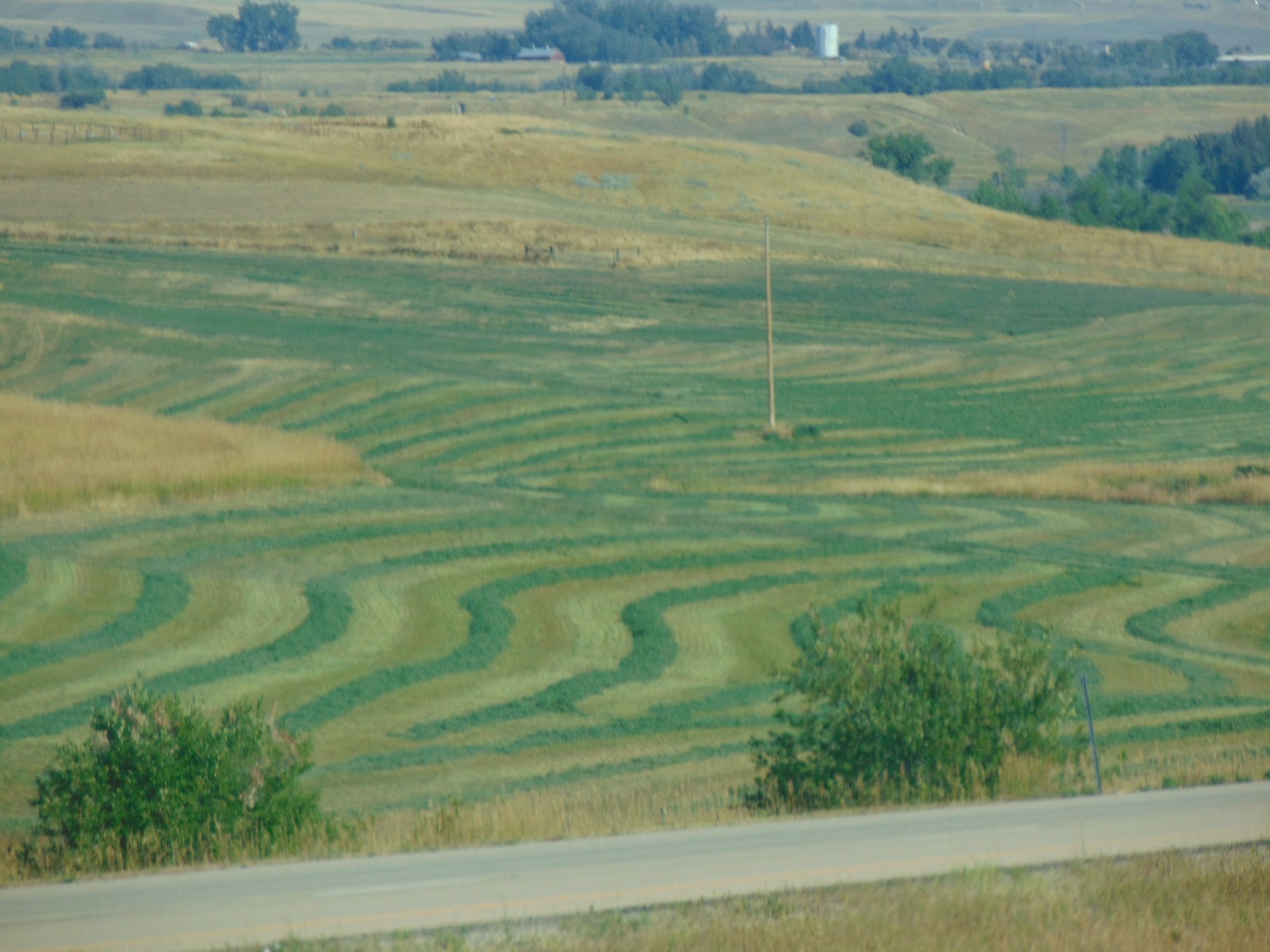
The radio said Seattle traffic was worse than normal, but we were headed south, hoping most folks who wanted to be in the path of totality were already there.  I kept checking traffic reports in Oregon, but didn't say anything.  Portland was reporting heavy traffic and already talking about delays beyond normal.  I was hoping it would break.  Initially, I thought we may end up just pulling over on the side of the interstate if we didn't make it all the way down.  Then, I saw this:


But, the reports were saying Portland traffic had cleared up, so I was getting hopeful.  Portland was going to get just over 99%, so if that's as far as we could make it, I would be okay with that, though it wouldn't satisfy my desire to see a total eclipse.  Those reports were right.  Rolling into Portland, there was hardly any traffic.  I was beginning to get excited!


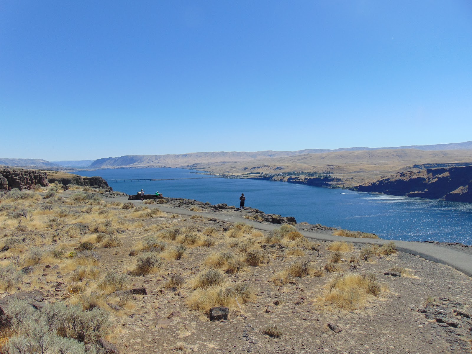
Just south of Portland, my hopes were dashed!


Portland radio was talking about a 2-hour delay to get to Salem and how those who hadn't made it to Wilsonville or within a couple of miles of it probably wouldn't make it to the path of totality.  They were alternately being sympathetic of us poor slobs and laughing at our plight.  We were within 7 miles of Wilsonville.  I was crossing my fingers.  WE MADE IT!!  Just after passing Wilsonville, traffic broke, and it was clear.  Most of that traffic got off somewhere around here.


All parking lots were full, and people were pulled into the grassy areas of the interstate entrance and exit ramps.  Every potential spot was filled from Wilsonville to Salem, and there were officers keeping anyone from stopping on the shoulder of the road.  By the time we passed Salem, the intial contact had started, but there was another hour until totality.  We decided to keep going.  It was only about another 20 miles to where I actually wanted to be, and traffic was clear.  South of Salem, there were plenty of frontage roads, and people were pulled off there and camped at the side of the road.  There was a rest area just a bit further, and we could pull in there.

Yeah, right!  We saw the "Exit Closed" signs first.  Then, the police officers stationed at the outer limits of where they were letting cars park on the ramp and a little bit into the interstate.


So, we went to the next exit.  We crossed the interstate and decided to park along the frontage road heading back north.  Turns out, we found a little dead end road by someone's vineyard.  We made sure to stay out of the vineyard and honor the "No Trespassing" sign that was posted on the edge.


We got settled in early enough that Bruce could sit in the shade of the car and read a little bit while we were waiting for totality to hit.


As totality got nearer, you could feel the temperature dropping.  It wasn't a gradual drop.  It would be stable for a few seconds, and then BOOM! Suddenly, it's colder.  I found myself wishing I had a coat.  The sky was darkening, and sunset was on the horizon in all directions!


This is the vineyard.  You can barely see the white post in the corner of one field.  Much different than the picture when we first pulled in.


Remember that I didn't have any filters for the camera, but when totality hit, I took a few to see what I could get.  It turned out better than I expected.  You can see the dark side of the moon.


Bruce shot a neat video with his Kindle tablet that shows a ghosted image of the eclipse over the sun's rays.  If you watch the ghosted image, you can see the moon starting to move away from the sun before the burst of light obscures everything.


Once it was over, the sky lightened up and the temperature rose.  The little bee came back and started gathering nectar again.  We put the chairs back in the bags and loaded them up, and hit the road.  I was so cold, we had to turn the heater on.  When we got to the exit with the rest area, that's where we became traffic.  We weren't just in traffic.  We were traffic.  Obviously, the northbound rest area was just as packed as the southbound one had been.  The officers were busily getting everybody off the interstate, out of the rest area, and on the road.  It was a madhouse.


After a couple of hours, and not making it the few miles back to Wilsonville, we stopped for lunch.  Even the men's room had a line!  By mid afternoon, we had finally made it to the 45th parallel, just north of Salem.


We finally got home to Puyallup around 6:00 p.m.  We sat for about 30 minutes with the eclipse and about 30 minutes for lunch.  We were out for about 13 hours.  So, it took us 12 hours to drive 424 miles.  Worth every bit of it!!  We're looking forward to 2024.  That gives me plenty of time to get the right filters, maybe a better camera, and learn how to shoot the sun.  Just have to decide whether to go to Mazatlan or Niagra Falls!  Bruce is lobbying hard for Mazatlan!  He has fond memories of that place!


Tuesday, August 8, 2017

Days 5 & 6 - It's pronounced Pew-Owl-Up

Good morning from day 5! Not much to see by the interstate today other than some really pretty natural countryside. Wyoming, at least this northeastern little corner we drove through, is very pretty! The hills just fold into each other. Wyoming also supposedly has the largest population of antelope. We saw a few.


They're a skittish lot, though, kicking up a cloud of dust when the run away!


Here's some pretty pictures of Wyoming to enjoy!


In Montana, you learn what happens when you drink and plow!


They also seem to think they're in Vegas. Combo church/casino anybody?


Montana apparently has lots of forest fires. We saw more burned trees while driving through Montana than I have ever seen before.


When we come back through, we're going to have to explore the Crazy Mountains (in the distance of the picture) in Montana, too.


We finally made it to Missoula, where we checked out the Squashed Cat, officially named “Cattin' Around.” He's lying outside a parking garage. A concrete, cartoon-style cat. The dip in his back is supposed to be a birdbath, but there was no water in it.


That's where we stopped for the night.  For day 5, we logged somewhere around 550 miles.


Six days on the road and I'm a-gonna make it home tonight. Anybody remember that old trucker song? Well, not exactly home just yet, but we'll reach our destination.

Before leaving Montana, we stopped at the Silver Dollar souvenir shop, cafe, and casino. They brag that they have 50,000 silver dollars, and I'd say they're probably right! I know I don't want to count them. Each of those little dots on those gold cards is a silver dollar.


We picked up some state magnets we missed along the way, and I decided to get some choke berry and huckleberry jam. I've not had either of them, and I'm looking forward to trying them. When finished, the containers are cute little barrel-mug salt shakers.

Idaho looked like this the whole way through until we got to Coeur d'Alene.


When we got to Couer d'Alene, it looked like this.


For many years, I have been complaining that farmers who grow crops by the interstate should be required to post signs so you know what they're growing. Just outside of Spokane, Washington, there is a farm that does just that. We went past fields of canola seeds, timothy, alfalfa, buckwheat (Yes, I put them together on purpose!), among other things. The only legible shot I could get was sweet corn, but I could tell what crops were in each field!!


We pulled off for a few minutes at the overlook of the Columbia River. It is lovely. There are other things to see around there, especially around the park on the other side of the river. We took a few minutes to look at the river, though.


As you go further down the highway and cross the river, there's a cute little park and fountain.


On down the road is a wind farm.


After sitting in traffic in King County, we finally made it to Tacoma, the destination. Just a few more days of hotel living, and we'll be in our new digs in Puyallup. Pronounced Pew-owl-up, not Pull-it-up.

We'll be doing some more exploring in this area for a while. But we'll need to get settled in first. Talk to ya' later!  I'll leave you with a view of the Cascades on our way in.


Day 6 was about 525 miles.


Saturday, August 5, 2017

Day 4 - South Dakota Part 2

When we got on the road for day 4, we quickly encountered the Missouri River. Personally, I found the Missouri to be a little more awe inspiring than the Mississippi. It's a nice, clear blue and not muddy, but that's not why. I can't put my finger on it, and it could be nothing more than the mood I was in when we crossed the Missouri against having crossed the Mississippi countless times at different places.


On our way to Wall, where we planned to have lunch, we encountered this boy walking his dinosaur along the side of the highway.


We also saw a sign that caused me to persuade Bruce to add a third stop in South Dakota before we got to Wall. PRAIRIE DOG FEEDING!! This was further off the interstate than I was anticipating. It was actually almost inside Badlands National Park. I thought I was going to have to get my park pass out! It is capitalism at its finest. These folks have this little patch of land that is pretty much overrun with these little rodents that are a huge nuisance to farmers who want to raise crops or livestock. What did they do? Put up a gift shop and sell unsalted peanuts so tourists can stop by and feed the rodents! Call me a sucker, because I got sucked right in! Boy am I glad I did!

We started in the gift shop to get the peanuts, and of course, we had to get souvenirs. After ringing up $38 and change worth of merchandise, the girl behind the counter ran our card. You could see her in that moment of panic when she realized she had rung it wrong. “No, no, no, no!” But it was too late. She had rung it up to $388 and change. I suggested just voiding the sale and reversing the charge, and she said it was too late. So, understanding that either her machine didn't have the capability or she didn't know how to do it, we accepted $350 in change! Easiest trip to the cash machine yet!

And now, to the prairie dogs! This was awesome! They have signs to not chase or touch the prairie dogs, put your hands down the holes, and a variety of other things. You don't really have to worry about it, though. The prairie dogs won't come close enough to be touched and they chase each other around! A couple of them came within a couple of feet of me before they turned to go back into their hole, but they know they don't have to come up to you to get the nuts. They looked at me as if to say, “Can't you read? Drop the nuts on the ground and let us come to them!” So, I finally started behaving, and we had lots of prairie dogs letting us watch them eat. While they were eating, we could often get within a foot of them, but not much closer than that, and not close enough to touch. Aren't they just adorable, though??!!


After feeding the prairie dogs, we got back on the road heading to Wall. The town of Wall has one of the world's most famous drug stores, Wall Drug. It was started in 1931 by Ted and Dorothy Hulstead, and by 1936, they were just about to throw the towel in when Dorothy had the idea to offer free water to try to draw customers in off the main road nearby. You still get free ice water and 5 cent coffee at Wall Drug, but you get a whole lot more, too! It has grown from a small one-room store to an entire city block with a variety of little shops and stores. The town itself has grown, too. From a winter/off-season population of around 300 to just under 900! Wall Drug no longer consists of just the drug store. The Hulsteads own all of the shops on the right-hand side of the picture. I'm not sure about the left. They could own them, too, but I haven't been able to confirm that.


As you go inside, it's a small mall with a unique, rustic interior and carved guests sitting on the benches so you never have to sit alone. I don't think she was very happy about me checking out her cards, though!


Then, there is the famous Wall Drug backyard! You can drive a double-tree team from a Conestoga wagon …


or take a ride on a jackalope!


We didn't have time to do the shooting gallery or the mining experience, but we'll hit those next time. (Somebody had to feed prairie dogs, if you recall!) We did have lunch, though. It's a lovely and large dining room. Bruce had a charburger, and I had a buffalo burger. Believe it or not, though I had wanted to, I had never tasted buffalo meat before. It's actually quite good!


We stopped to get gas in Underwood. At the side of the parking lot, we encountered the World's Smallest Biker Bar!


It's not far from Sturgis. If you miss the signs, just check the hills. They'll tell you when you've arrived in Sturgis!


Soon after entering Wyoming, there was a random airplane on a pole by the side of the road. It's apparently a weather vane and part of the visitor's center, but I'm not really sure where the visitor's center is!


After a little rain shower, we finally tucked in for he night in Buffalo, Wyoming.  The desk clerks warned us that the internet was awful.  It was the best internet we'd had so far the whole trip!  We clocked about 500 miles on day 4.  I'm not really sure how we managed that many!

Thursday, August 3, 2017

Day 3 - South Dakota, Part 1

The third day out, we drove north again, along the western borders of Missouri and Iowa. This is corn country. Corn all around you. Sometimes as far as the eye can see --


broken only by grain silos.


In Iowa, there were a few of these giant coffee pots advertising Sapp Bros. Travel Centers.


In Council Bluffs, this statue marks the beginning of an overpass where I-80 crosses I-29. It's been compared to Freddy Kruger hands, but I'm thinking more along the lines of the movie Robots.


In Sioux city, the interstate runs right past the grave of Sergeant Floyd, the only fatality in the Lewis and Clark expedition.


When lunch time rolled around, we were in Iowa City. There was a lot of construction in Iowa City, so we turned left and had lunch in Nebraska!


After a quick stop at Taco Bell, it was back to Iowa, headed into South Dakota. I guess we actually did make a run for the border!


Ever since seeing Guatemalan farmers growing corn and other crops along the sides of the road between the road and the fence lines, I have realized just how much wasted growing space there is. Those Guatemalans use just about every tillable inch of the cleared land, eeking out as much produce as possible. Well, apparently there is some Guatemalan influence in South Dakota. They may not plant corn or other tilled crops along the shoulder of the road, but when they mow it, they do roll or bale it!


Turning west on I-90, the fun began. I had always thought of South Dakota as basically just a lot of farm land with nothing really except around the Black Hills and Mt. Rushmore. WRONG!! Think again! Just along I-90, there is a veritable smorgasbord of sights to see and activities to do, from historic sites, dinosaur archeological parks, old west parks, animal parks, and many unique attractions. That doesn't even count the scenic drives and other attractions that are away from I-90! Knowing that we had a place we had to be and a time we had to be there, it was very difficult to limit myself. But limit myself I did, down to two attractions, just off the interstate. I did get a promise from Bruce that we will come back and do them all, though!

We stopped early in a town called Mitchell to see the World's Only Corn Palace. This is a sight to behold – and a different sight to behold each year! Every spring, the people of Mitchell and the surrounding area design and decorate the corn palace. Most of the exterior facade and much of the interior walls are covered in pictures and designs made from different varieties of corn, corn husks, and straw, all of it in its natural colors (no dyes added). The theme is changed just about every year, and themes since 1893 are listed on its website.


They start decorating the Corn Palace in May. As you can see, they were still working on it by the time we were there, in late July. They say it's anticipated to be complete in October.


When it's not in use as a concert venue, high school basketball arena, or other activities, the arena floor is used as a souvenir shop. The murals on the wall are also made from corn.


Across the street, there is a pattern with a partially completed duck mural with the completed mural beside it.


Tucked away in here is Jessee's Candy Clouds, where you can get 15 different flavors of cotton candy. I got the sugar free. I just had to see what spun sugar tasted like without the sugar! It was pretty bland. I wouldn't recommend it. Try one of the other flavors! According to the writing on the wall, it looks like unicorn farts!!


When we left the corn palace (with lollipops, shot glasses, and other souvenirs) and settled into the hotel for the night, we had made right around 400 miles for day 3.